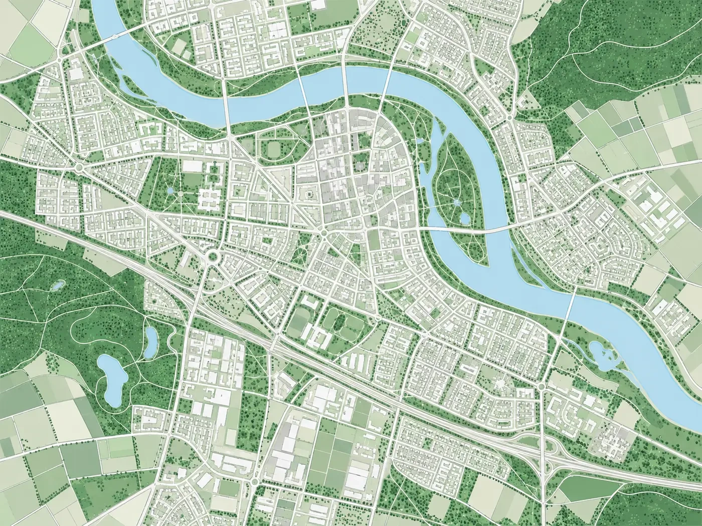
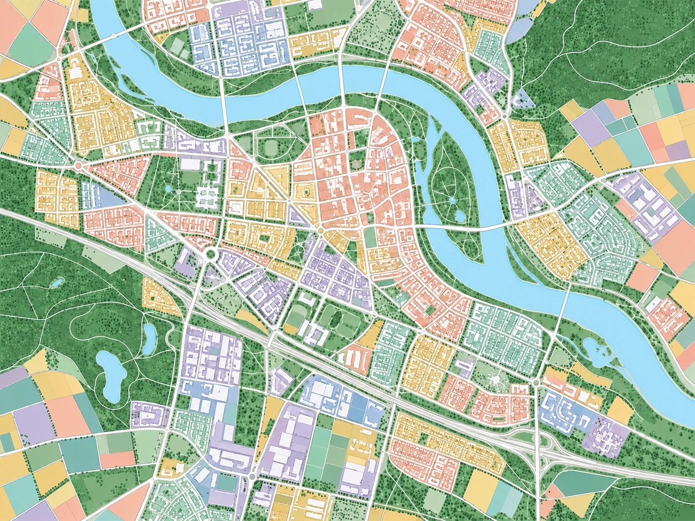
2D maps and data overlays
Overlay vectors, imagery and basemaps, and control visibility by layer. Select features to inspect attributes and compare boundaries with nearby features.
- Vector layers
- Imagery and basemaps
- Feature attributes
SqsMap / GIS tools
Open vector, imagery and elevation files, inspect attributes, run spatial analysis and check geometry. Browse buildings, terrain, models, point clouds and Gaussian splats in 3D.
01Vector, imagery and elevation files
022D maps and 3D views
03Analysis, checks and mapping
Map display
Overlay vectors and imagery in 2D, or browse buildings, terrain, models, point clouds and Gaussian splats in 3D. Choose a view for the data you are using.
2DView layers, boundaries and attributes to check locations.
3DInspect heights, terrain and model structures.
Display examples for different data types.
Overlay vectors, imagery and basemaps, and control visibility by layer. Select features to inspect attributes and compare boundaries with nearby features.
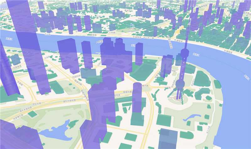
View building heights and urban blocks from an oblique angle. Adjust building colors, scene lighting and the camera view.
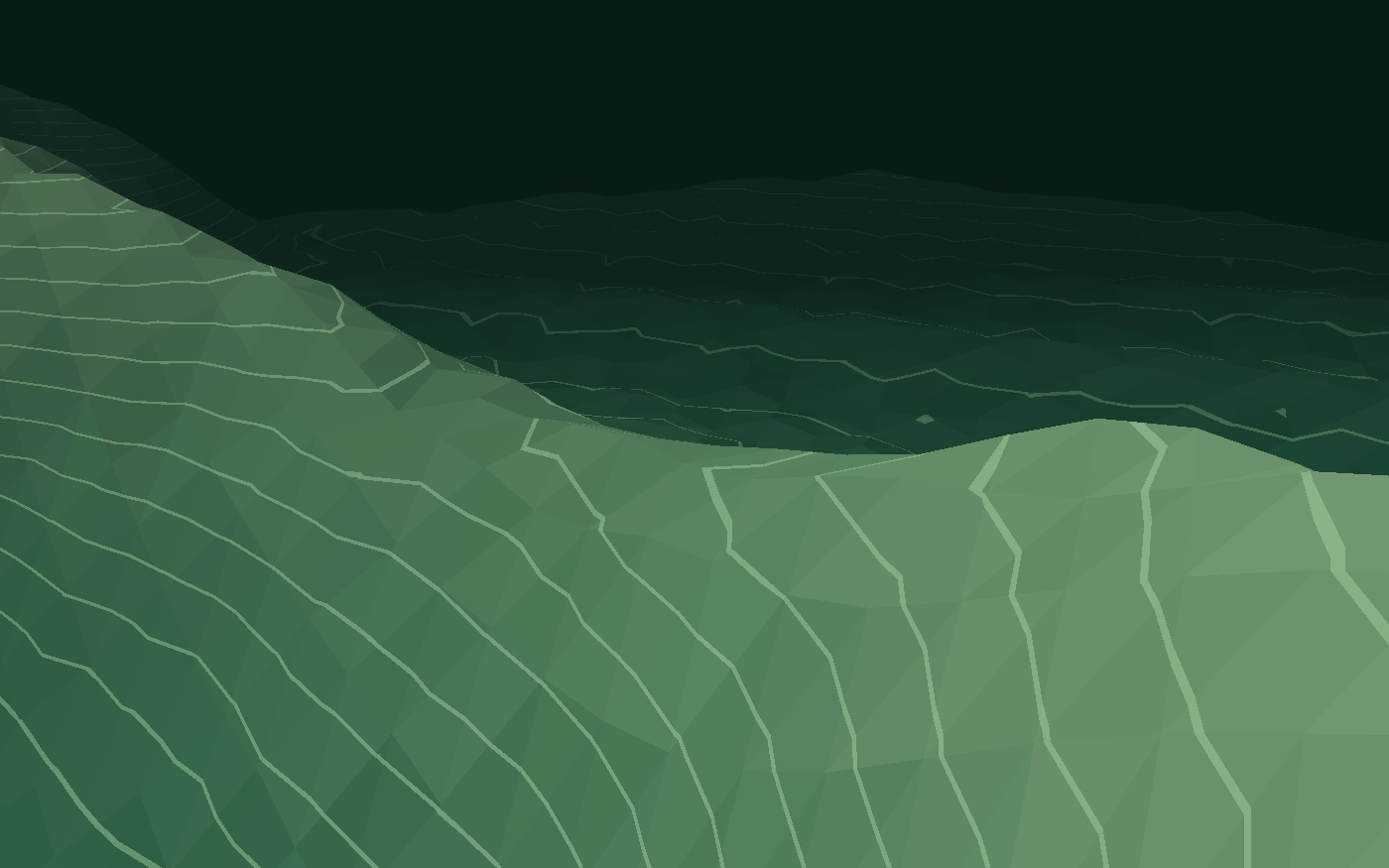
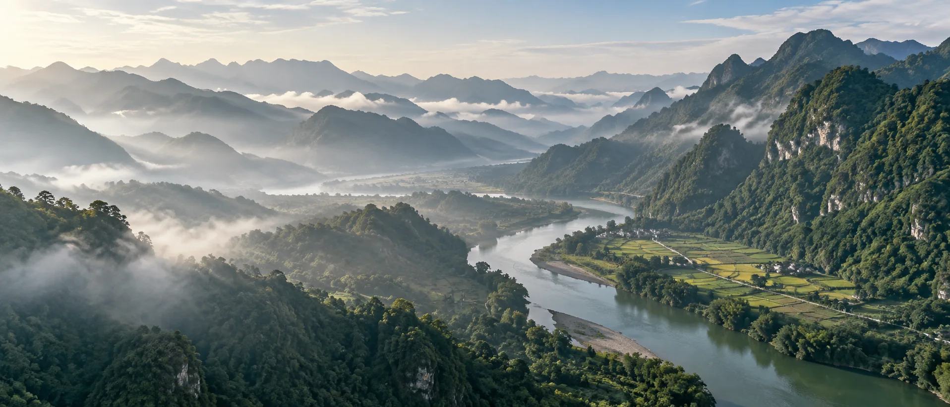
Load online terrain or a local DEM to view ridges, valleys and slopes. Overlay imagery, parcels and other layers.
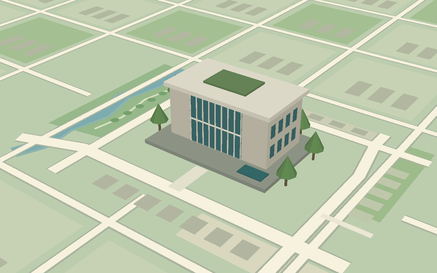
Load glTF or GLB models and 3D Tiles. Set position, orientation and size to place individual buildings or larger scenes on the map.
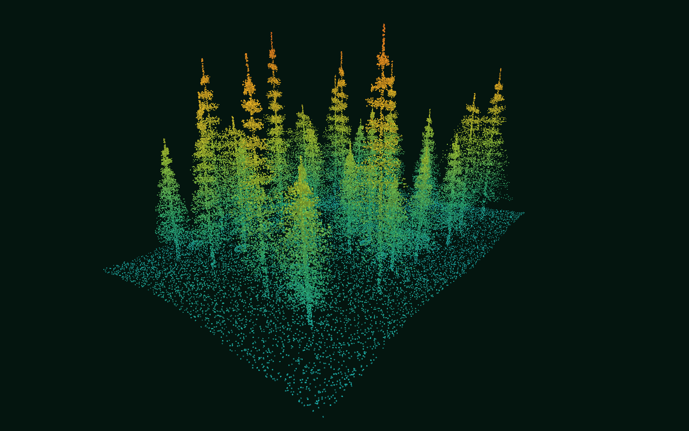
Load LAS, LAZ or COPC point clouds. Display elevation or original colors, and rotate the view to inspect tree crowns, ground and building structures.

Load Gaussian splat data to inspect the color and detail of a reconstructed scene. Adjust its position, orientation and size, and view it on the map.
Images illustrate data types; some animations use generated scenes. Open the software or online examples for actual operations.
Supported data types and operations vary by edition. See the relevant edition page.
Workflow
Choose a stage to see the required data, available operations and expected output.
Add local files to the map. Check their location, extent and layer order against a basemap.
File import / Layers / Coordinate systemsOpen
Add vector, imagery or elevation files. Locate their extent and check the coordinate system, layer order and display settings.
Data processing
Manage files, run spatial analysis, check data and prepare output with the tools each task needs.
Open vector, imagery and elevation files. Inspect attributes, set coordinate systems and display data over a basemap.
ExploreCreate buffers, intersect or erase features, and dissolve polygons. Review and export the resulting layers.
ExploreFind overlaps, gaps and self-intersections. Locate affected features on the map and review them before choosing a repair.
ExploreExport processed data or prepare thematic maps on desktop for reports, reviews and project records.
ExploreUse cases
Compare boundaries, attributes, imagery and terrain when checking day-to-day survey data.
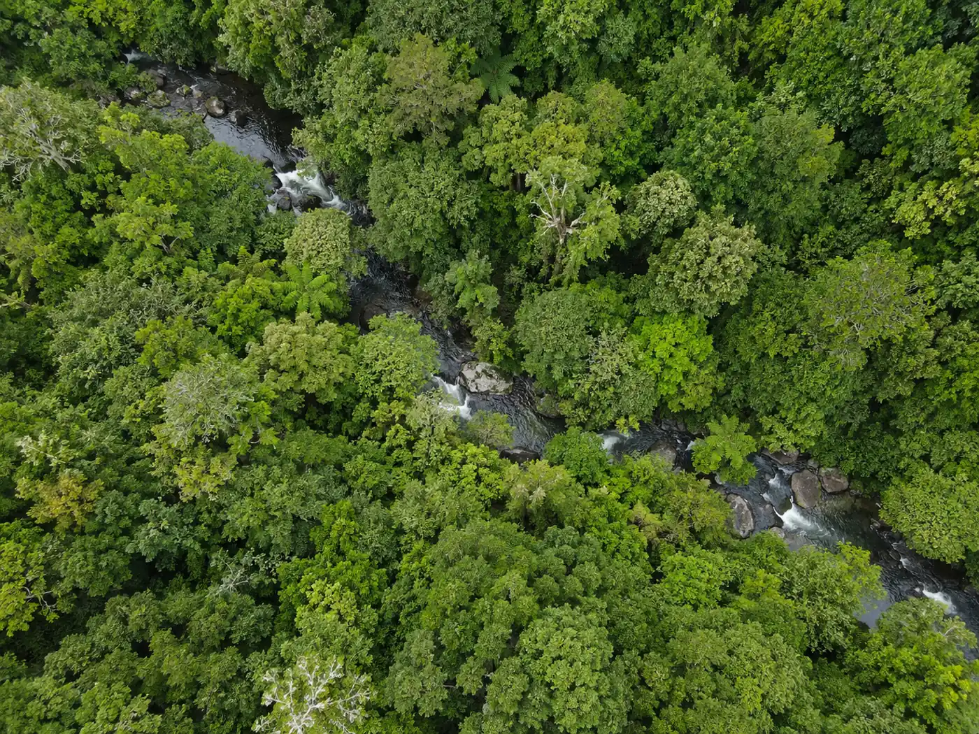
Overlay stand boundaries, survey attributes, imagery and terrain. Check stand locations and boundaries, then prepare survey data and maps.
View related features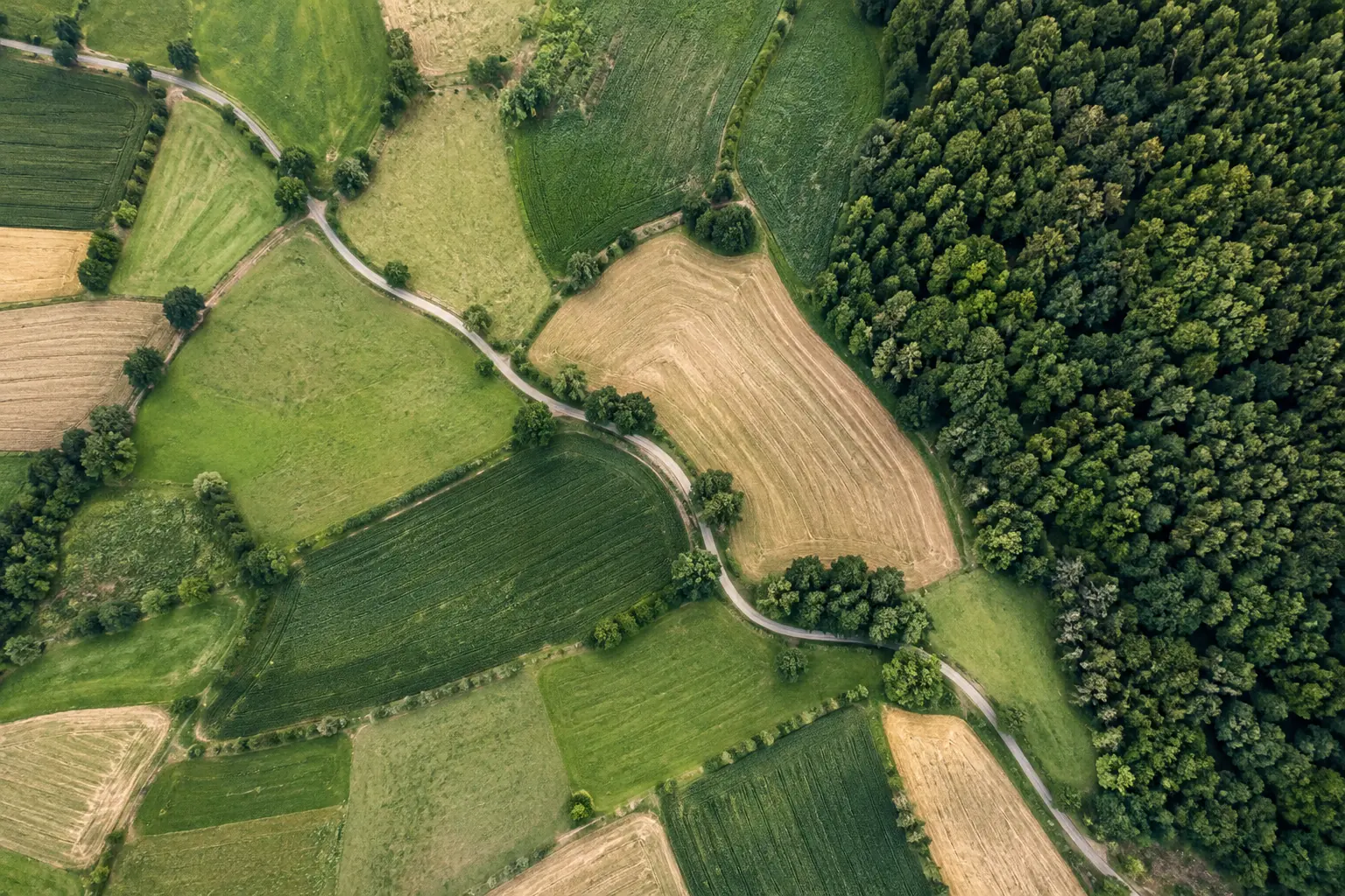
Compare parcels with imagery, roads and other layers. Find overlaps and gaps, and locate boundaries that need field review.
View related features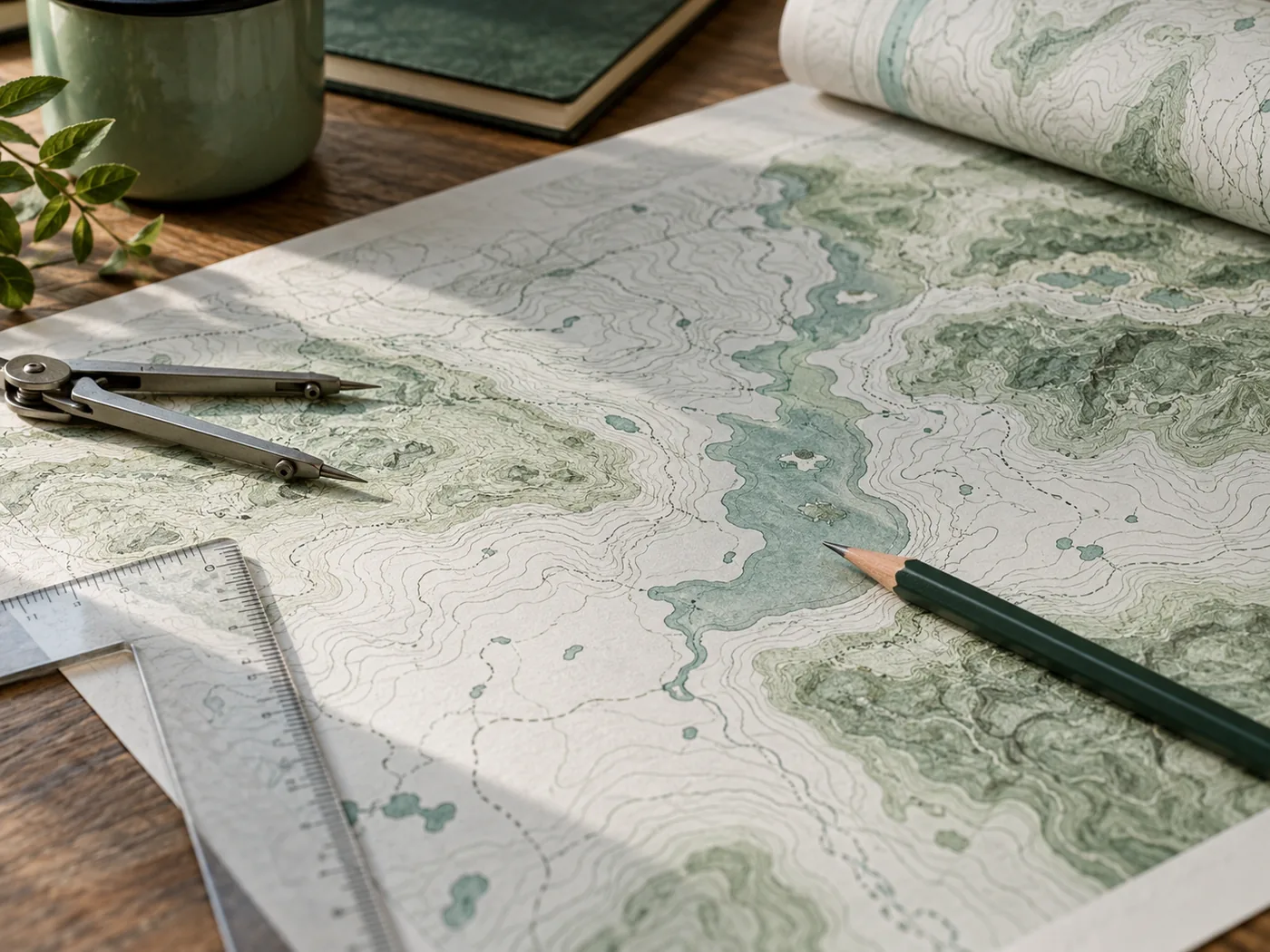
Organize layers and styles by topic to create survey-area maps, resource distribution maps and report figures.
View related featuresEditions
Use desktop for processing and map layouts, or web without installation. Mobile is still in development and has no download.
Desktop work
Edit and process local spatial files, run analysis and topology checks, and prepare maps. Windows is the current priority platform.
ExploreDesktop packages are listed on the desktop page. Mobile currently has an introduction only.
Help and development
Try the map examples, then use the manual, SDK or script reference for your task.
Get started
Download the desktop edition or open a local file in the web workbench.